Wednesday, August 9, 2023

Home again!!!

 Sunday, Aug. 6

Sunday morning was overcast. We had made arrangements to fly with Rebecca Graham, who lives in Bremerton and owns an Aeroprakt A-32 (like Dennis' plane, but orange like mine.) Dennis wanted to fly the western perimeter of Washington, around the Olympic peninsula, but the weather didn't look good at all for that route. And Rebecca was reporting a 600' ceiling at Bremerton. So we'd just wait.

By 10 a.m., after a wonderful breakfast, the ceiling was now at 900' in Bremerton and that was along the route I planned to take. Dennis was ready to leave. He hadn't decided whether he was going to fly to Oshkosh, get his RV and drive it home, and then have a friend fly him back to Oshkosh to get his plane - or whether he was going to fly back to Arkansas (which I've been mistakenly abbreviating as AK instead of AR throughout this blog,) and have a friend fly him to Oshkosh to get his RV. He said he'd make his mind up in the air. (He ended up flying to Independence, OR, then to La Grande, OR, spending the night there due to weather, and then continuing on to Oshkosh.) 

It was difficult for me to see him go; it meant that our flight together around the perimeter of the contiguous U.S. was really over. He was an amazing flying partner and I know I could not have made the flight without him. His knowledge and experience are over the top and his willingness to share them is outstanding, as is his patience with a pilot who has a much lower risk tolerance than he does. THANK YOU, DENNIS!!!!


After Dennis left, Rebecca and I stayed in touch by text and she reported how the ceiling was slowly lifting. I didn't really mind the wait, as I was having a delightful time visiting with the Browns. By 2:30 p.m. Rebecca texted that she was taking off and would meet me at Sequim Valley Airport in about 45 minutes.

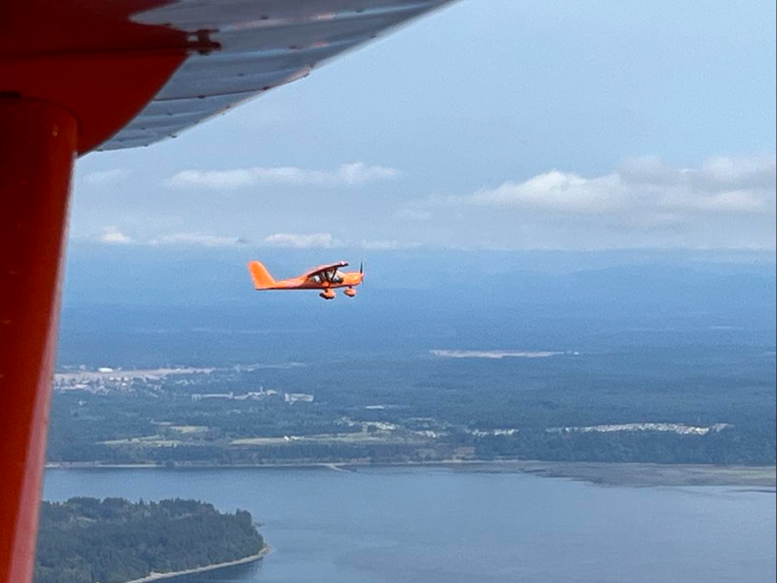
I hadn't realized that she has an orange Aeroprakt. Hers is a slightly different shade of orange, yet it was so much fun to watch her land and know what my plane must look like in the air.

She and I discovered that we both like to do planning with a paper sectional!


Since this part of the world is Rebecca's playground, I asked her to pick a route that would avoid long stretches of over-the-water or over-big city flying. Then with hugs for Skip and Ken, we were off! It was a wonderful flight and I loved seeing her orange plane in the air.


The Seattle skyline was pretty wonderful too.


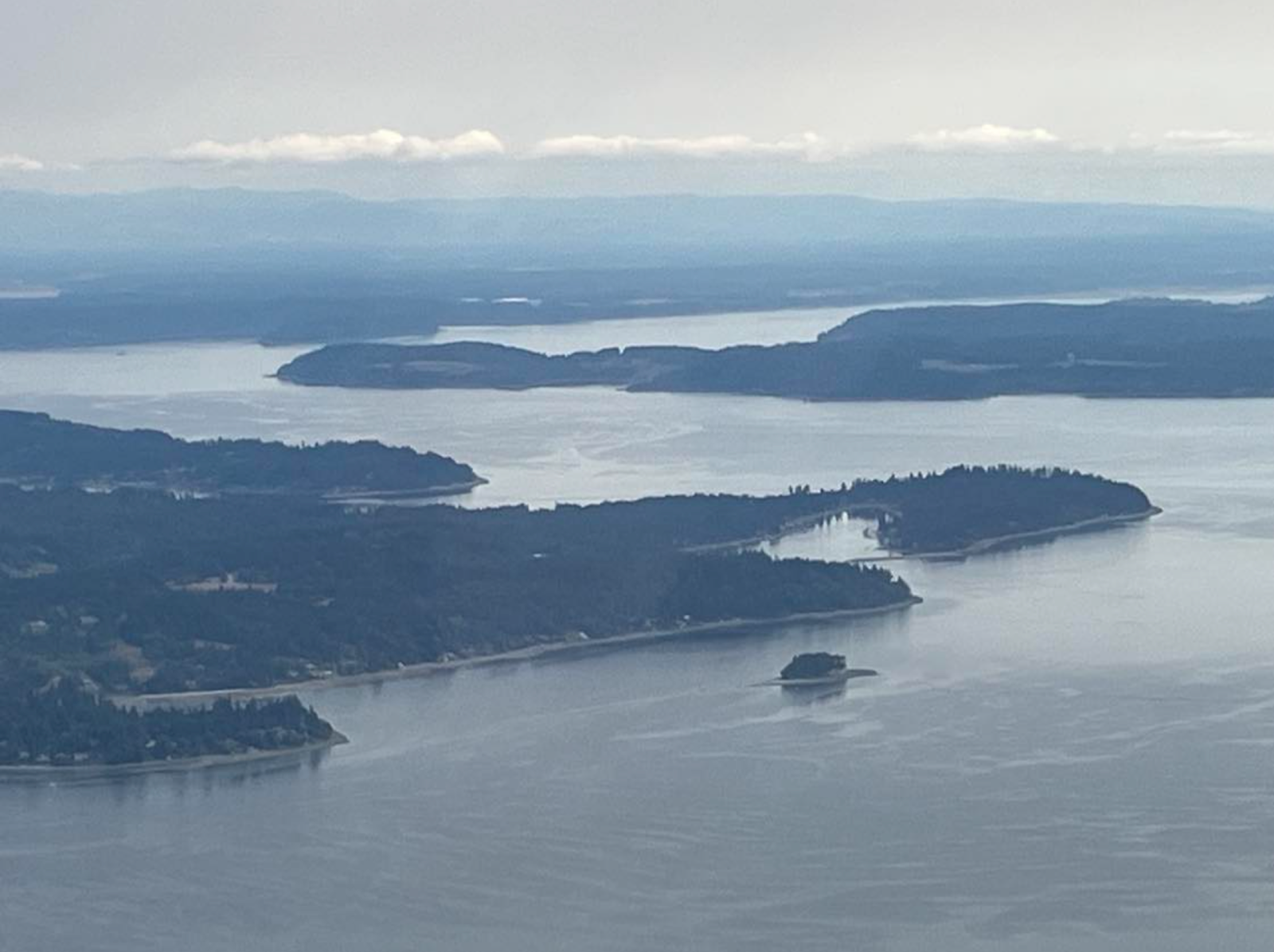
And more island hopping:


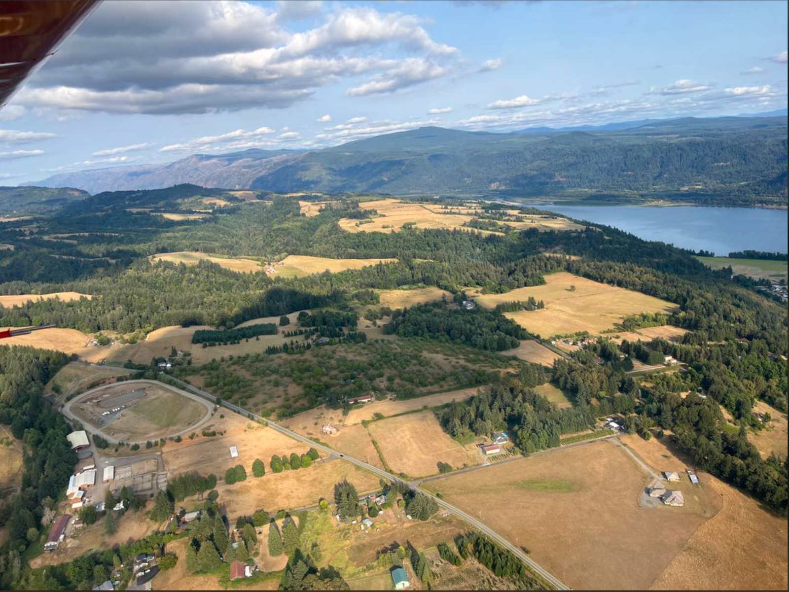
Rebecca turned back at Chehalis, while I continued on south. Now I was in my home territory and yet I found myself reluctant to go home.


As the Columbia River Gorge came in sight, I decided not to land at Sandy River Airport but instead to continue on to a near-by airport and spend the night with friends. I wanted some transition between my amazing seven-week journey around the U.S. and being at home. It was the right decision. By the next day (Monday, Aug. 7) I was ready to go home. An easy 20 minute flight and I was flying over our farm and then in the pattern for 03S.


Some statistics:

20 flying days. (Left June 14, arrived home Aug. 7.  35 days, of which 15 were at Oshkosh)              

135 hours in the air 

434 gallons of gas (Fuel burn: 3.2 gal/hr.)

Total cost: I don't want to know!!! 

Total miles: Dennis is going to figure it out. He thinks we covered between 10,000 and 11,000 miles.

Now...I need to figure out "what next?"


Another Weather/Mountain Challenge

 Saturday, Aug. 5

I was sleeping soundly in my tent, under my wing at Lake Chelan Airport. (S10) when I was awakened by the most horrific noise; it sounded like hundreds of roosters, all engaged in a crowing competition. I checked my watch: it was 5:00 a.m. It went on and on and on. After half an hour of trying to get back to sleep, I gave up and started to break down my tent for today's flight. The airport manager, who came by about 7:00 a.m., told me that there was a rooster farm with hundreds of roosters in the hills above the airport. He said that when he flies in the early morning, the crowing is so loud that sometimes he can't hear his engine!

Our destination for today was Sequim, WA, where we'd be staying with Skip and Ken Brown. Ken is president of the United Flying Octogenarians. I'm a member of the UFO Auxiliary and can't become a full member until I turn 80 this December. I'd never met the Browns in person, but we'd done so much texting and had a number of phone conversations and I felt like we were old friends. I could hardly wait to actually meet them.

Dennis and I discussed the route to Sequim. He wanted to go northeast, towards Okanogan (S35) and then follow Hwy. 20 west toward Methow Valley State Airport (S52) and over the northern Cascades. Lots of 8500 - 9000' peaks, and the pass is at 5400'. It's a gorgeous route, but for over 100 miles there is absolutely no place to land except the twisty highway. Forest, forest, forest. Another case of relying completely on your engine. AND there was a TFR over the highway, due to fire.


So I said I'd take a more southerly route - following Hwy. 90 over the mountains. The mountains along this route are almost as high as the ones farther north, but highway goes through some valleys and there are  farms along the way, so many more landing spots. We agreed to meet in Sequim.

I took off and within 30 miles the smoke was so thick that I couldn't see much beyond 4-5 miles. It was getting thicker as I flew, so I diverted to Waterville (2S5) and waited. After a while it seems as though the smoke was thinning, so I took off again. Ran into more thick smoke a few miles out, so turned back and waited at Waterville again. Another hour or so and another WX briefing and I took off again. 

Now I had about 8-10 miles visibility, as long as I stayed fairly low. Then my GPS showed heavy rain ahead along my route, so I diverted to Panghorn Airport (EAT). Another hour or so, another WX briefing, and I took off again. I followed the river valley, picked up Hwy. 90, and followed it over Stevens Pass. I ran into light rain, but visibility was ok so I just let it wash the plane a little. I listened to AWOS for Stampede Pass: calm winds, overcast at 8000'. Perfect! I was flying at 5000' and didn't need to go any higher. All along the way, I was keeping an eagle eye out for airstrips and fields where I could land if I had to turn back, in case visibility decreased or rain increased. I was so happy to recognize the Carnation Valley as I came over the mountains. 

From there it was an easy flight to Harvey Field (S43) in Snohomish, WA where I stopped for lunch. Then on across the valley and hopscotching across Puget Sound, island to island, until I reached the mainland and landed at Diamond Point, WA (2WA1). I admit, this stretch made me nervous, since it's complicated airspace and flying over more water than I like.


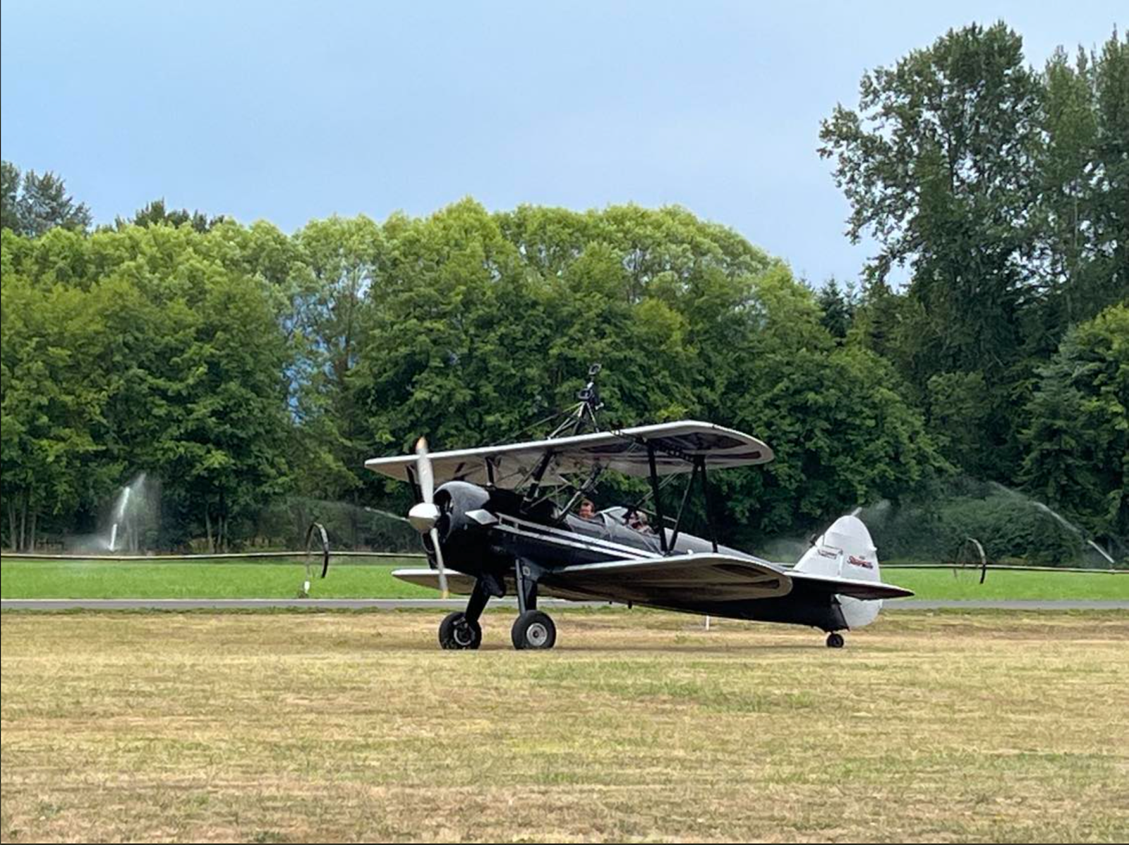
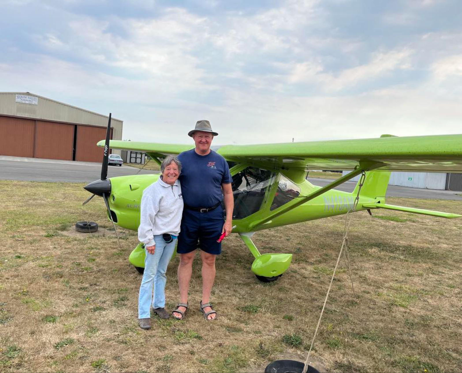
I visited with pilot Dave Gardner and his wife Karen, and then took off again for the 20 minute flight to Sequim Valley Airport (W28) where Skip and Ken Brown hangar their plane. Dennis was already there, After watching a group of would-be wing walkers take off to practice their newly acquired skills we piled into the Brown's car and headed to their home, where we spent the night.

Yes, you too can take lessons with the Mason Wing Walking Academy in this bi-plane in Sequim!


Here's my track for the day.


Sunday, August 6, 2023

Over the Rockies

Thursday, Aug.4 was a "stay in camp" day. We packed up our tents in the morning and drove to Cut Bank to have "b'lunch" and return the rental car. I assumed that Dennis would want to head out immediately to continue our westward flight, but he was content to stay at the Cut Bank FBO. spent the night in the Cut Bank FBO.

Friday, Aug. 4

For two days now, I've been pushing away thoughts of flying over the Rockies by myself. Dennis is very focused on flying directly over Glacier as his route over the Rockies, and I'm equally clear that I will NOT fly over Glacier.  The only route I'm willing to do is to follow Hwy.2, which goes from Cut Bank, MT and curves around the southern tip of Glacier before turning north and heading to Libby, MT and the on west. So we'll fly separately. The thought makes my stomach hurt.

I realize how much strength I get from three things when I fly over inhospitable/un-landable terrain: a road, to follow (no matter if it curves like a snake,)  so that if I go down I'll have a slight chance of landing; signs of human habitation, so that if I go down I might be able to get help,;and being in radio contact with a flying partner. The latter somehow gives me courage - even though I know there's no way someone else can help me when we're in the air. The idea of flying over the Rockies by myself was so scary that I firmly resisted thinking about it.

Friday morning was hazy and definitely flyable. As usual, we checked the weather and Dennis noted that we'd be seeing some clouds. He plans to fly over them and just trust his GPS. He took off and then it was my turn. I climbed easily to 8500'. The smoke was pretty bad, and I was just barely able to see the road below. I had laser eyes on that road and didn't scan for other traffic at all. Other planes would just have to look out! 

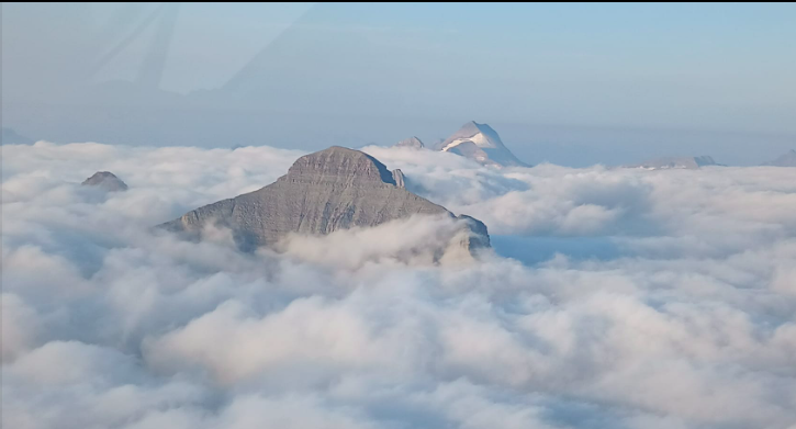
Then the clouds began below me, and soon I was flying over a sea of white. The clouds were about 2000' below. Oh no! That does it, I'll have to turn around. So turn around I did, and went back to Cut Bank.

I was pretty bummed out, and started thinking about my options. I couldn't fly south because of the fires and fire-related TFRs, and dense smoke. Maybe Dennis could rent a car when he landed, drive back to Cut Bank, and fly my plane over the Rockies. Maybe I could call one of my friends who ferries planes and ask them to come to Cut Bank and fly the plane. Maybe the clouds would dissipate and I could fly the route myself. 

So I called for a weather briefing and asked the briefer if /when the clouds would dissipate. He looked and said "There's only about 20 miles of clouds, and they're completely stable, because there's no wind. You can fly VFR on top and just follow your GPS. At your estimated speed, you should be over that cloud bank in 15 minutes." 

O.K. Two people  - both with expertise I respected - were telling me to fly on top of the clouds and trust my GPS.  And I can always turn back. So that's what I did. This time I climbed to 9500'. The cloud bank was still there, absolutely immobile. There was absolutely smooth air. I flew and flew and flew - it seemed forever. Then I could see the far edge of the cloud bank, when I dared take my laser eyes off the GPS. I had programmed in every bit of the curvy, windy road and I just kept flying.  

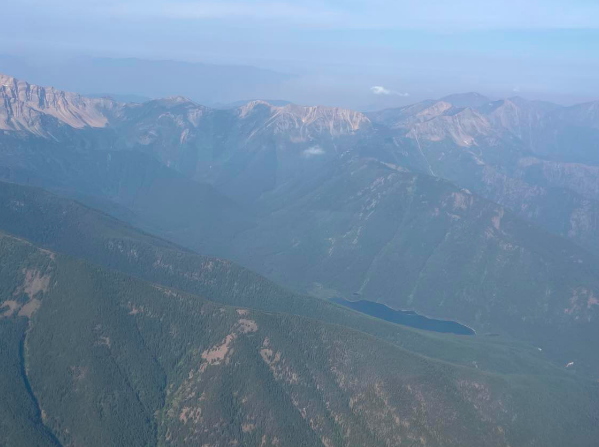
Then the cloud bank ended and the road, still difficult to see over all that smoke and at that altitude, reappeared! I was right were I was supposed to be! I grinned and grinned and grinned. Of course, there was still a long ways to go to cross the mountains, but for the first time I felt really hopeful. The engine was running like a clock - not a single knock. THANK YOU MORRIS SMITH!!!  And since the air was absolutely smooth, I actually took some pictures!

Give credit where credit is due: the three photos taken of the cloud bank are Dennis' - I wasn't about to take photos while I was flying my GPS. The other photos are mine.


I took lots more- and even found the courage, once I was past Libby and out of the worst part of the mountains, to text Dennis that I was on my way and would meet him at Boundary County Airport, Bonners Ferry, ID (65S).

Note: Because of the smoke and the fire-related TFRs around Kalispell and Libby, MT I actually had to fly north of my road/GPS route. But I could SEE the ground and it wasn't a problem.

Landing at Bonners Ferry was an absolute delight, and we refueled and flew to Cavanaugh Bay, one of my favorite airports, for a wonderful lunch. You can't tell it from these two photos, but you climb out over the bay when you take off on 33.


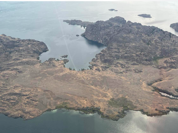
Then on again to Lake Chelan, our stop for the night. Flying over Grand Coulee Dam was a thrill, as always. I felt like I was almost home - I'm now in very familiar territory, since I've made the flight to Cavanaugh five or six times.


Even though it's now Sunday morning when I'm writing this, I don't have time to write about Saturday's flight - will do that this evening. I'll just say that we spent the night at the home of Skip and Ken Brown of the United Flying Octogenarians in Sequim, WA and I hear Skip getting breakfast ready.


Wednesday, August 2, 2023

I've been gone too long...had to ask someone in the laundromat what day it is!!!

 Tuesday, Aug. 1 and Wednesday, Aug. 2

I'm sitting in the laundromat at the campground outside Glacier National Park, charging my laptop and tablet. I was sure today was Tuesday, but asked someone who said it was Wednesday. Wow! I'm really losing it. 

Yesterday was an exciting day, but not in a positive way. We left New Town, ND (05D) and the morning flight was fairly uneventful, more beautiful country to see and the plane responding well.  We had an amazing tailwind: I was averaging 105 kts over the ground and at times reached 110 kts! Air speed indicator showed 70-75 kts.

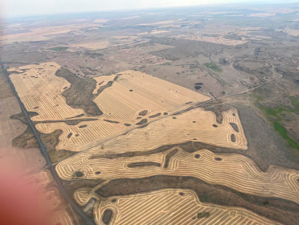
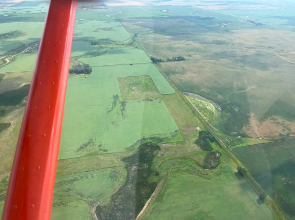
The farther west we went, the more the ponds, lakes and rivers began to disappear, and rolling hills took their place. The land elevations began to slowly rise. This is north-central ND.


These show the gradual changes as we flew farther west.


We landed in Malta, MT (M75) to refuel after a 2.75 hr. flight. I asked Dennis to stop at the Dinosaur Museum, which is apparently famous for the most complete dinosaur ever found. It's now being studied in Japan. 

The lunch menu was interesting: fried pickles, fried green beans, and fried Mac 'n Cheese!


We took off again, heading for Cut Bank, MT. (KCTB) (For those of you who are confused as to why I sometimes put a K in front of the three-digit airport identifier and sometimes don't, it's because the system for issuing airport identifiers is very inconsistent.)

Our 2nd leg was a real roller coaster. Very rough air regardless of what altitude we tried. Dennis went to 10,000' and I waffled between 4500 and 5500". It didn't seem to matter. We both got really tossed around. I never felt in danger; it was just real work to keep the plane as straight and level as possible. I'd be at 4500' MSL (about 2500' AGL) and suddenly my vertical speed indicator would go crazy and I was in a thermal lifting me up at 1000'/minute and my airspeed indicator was streaking back and forth between 70 and 90 kts! Then a few minutes later I'd be in a sink. The sinks never were more than 500'/minute and I was able to put in some power and get back to my desired altitude. But the "free lift" was another matter. At times I'd have the nose pushed down and I'd still be climbing! So obviously I wasn't taking photos. 

I was pretty worn out when we finally landed at Cut Bank. The wind was really blowing and I felt pretty proud of myself when I made a respectable landing.

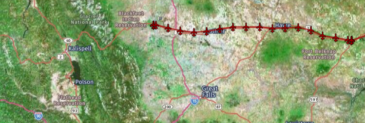
Here's my track for Tuesday, in two-parts since it's so long.


We had already decided we wanted to see Glacier National Park. We rented a car, packed up our camping gear, and took off for the KOA campground in St. Mary, MT which is less than a mile from the East Glacier park entrance. We found out that there is now a reservation system to get into Glacier, and the only way we - reservation-less - could get in was to enter before 6 a.m. And that there is often a line of folks who want to enter without reservations. So we agreed to meet at 5:15 a.m.

Wednesday, Aug. 2

All I can say about today at Glacier is that watching the sun rise over the mountains made our 5:15 a.m. departure from camp absolutely worth it.

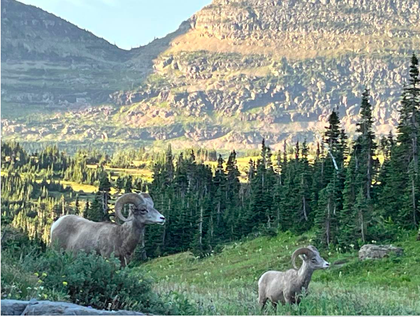
It was still dark when we entered Glacier, along with lots of other folks. Dennis pulled into a turn-out inside the Park and we napped until sunrise. The day was absolutely wonderful and we didn't get back to camp until almost 5 p.m. 


Tuesday, August 1, 2023

Can't believe how far we've come

 Monday, July 31

We left Oshkosh yesterday morning and already we're in western North Dakota. By tomorrow we'll be in Montana!

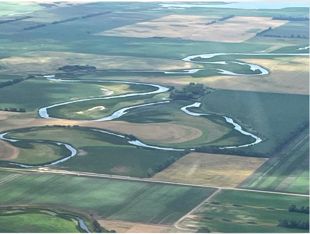
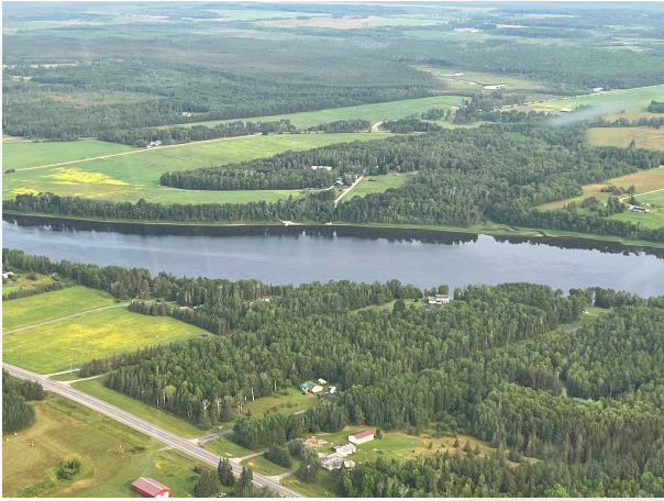
Today's first leg was beyond wonderful. We followed the Rainy River along the Canadian border for miles and miles. The air was absolutely calm, even with a slight headwind. Feet on the floor - no rudder input needed, and I was trimmed out so well I could take my hand off the stick to take pictures. 


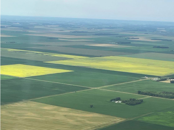
More beautiful farms and fields.

I took some photos of Dennis:


The scenery barely changed when we got  into western North Dakota.


I remembered that eastern ND has as many large ponds and small lakes as northern Minnesota. As we got farther into eastern ND, there were more areas that weren't farmable, and more small lakes that seemed to have a lot of algae or some other stuff around their edges. Not good for swimming.


Our stop for the night was New Town, ND. The airport is nestled in a bend of Lake Sakakawea and it looked like a great place to camp. WRONG! It was really hot and humid, and full of bugs. Our windshields and leading edges were absolutely covered. Happily, I had called ahead and talked with Milo, the airport manager at New Town. He had assured me that the FBO was air-conditioned and had a bedroom and a full bathroom as well as a couch and table. He also said we could use his empty hangar since he was flying to Bismark.

When we landed, there was a fellow who made us welcome and told us we could also use HIS empty hangar! So both our planes were put away for the night.

Tomorrow we're aiming to make Cut Bank, MT - not far from Glacier National Park.

Our track for today:


Home again!!!

 Sunday, Aug. 6 Sunday morning was overcast. We had made arrangements to fly with Rebecca Graham, who lives in Bremerton and owns an Aeropra...