Saturday, Aug. 5
I was sleeping soundly in my tent, under my wing at Lake Chelan Airport. (S10) when I was awakened by the most horrific noise; it sounded like hundreds of roosters, all engaged in a crowing competition. I checked my watch: it was 5:00 a.m. It went on and on and on. After half an hour of trying to get back to sleep, I gave up and started to break down my tent for today's flight. The airport manager, who came by about 7:00 a.m., told me that there was a rooster farm with hundreds of roosters in the hills above the airport. He said that when he flies in the early morning, the crowing is so loud that sometimes he can't hear his engine!
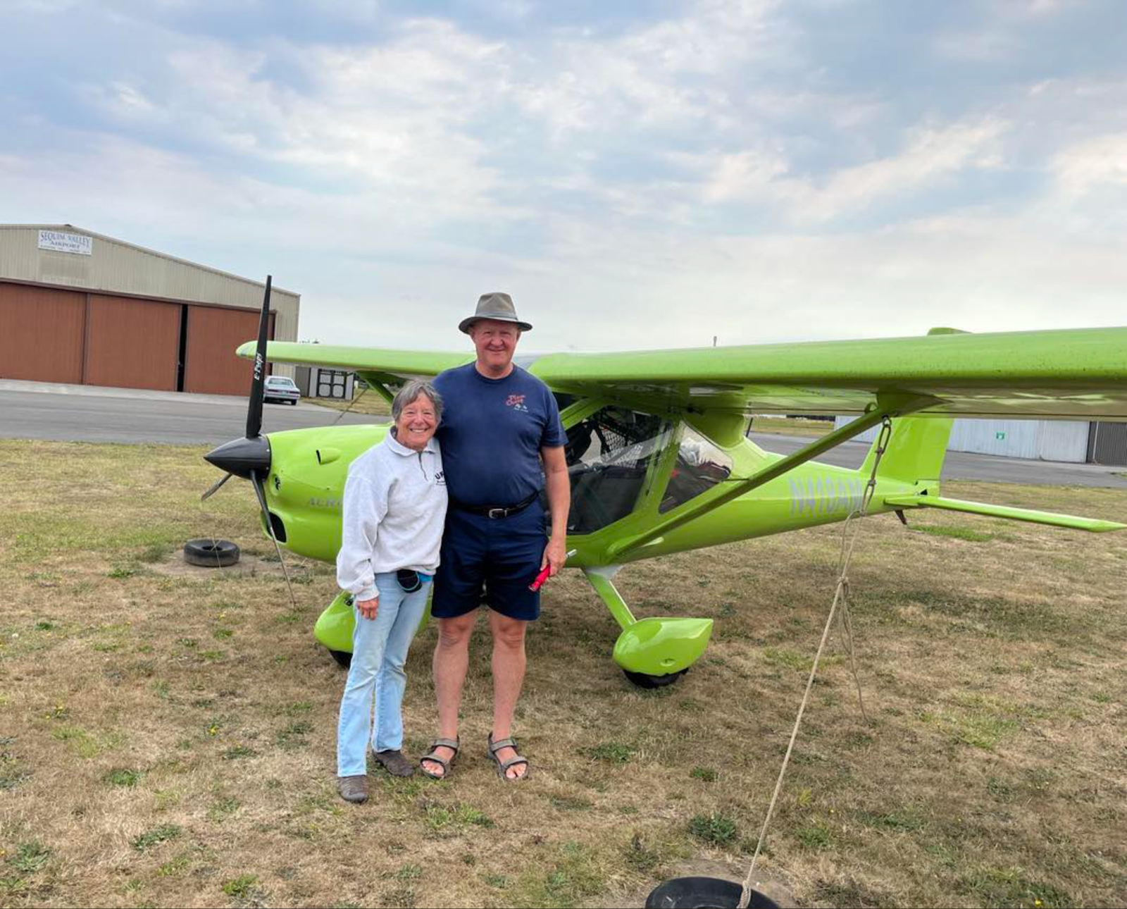
Our destination for today was Sequim, WA, where we'd be staying with Skip and Ken Brown. Ken is president of the United Flying Octogenarians. I'm a member of the UFO Auxiliary and can't become a full member until I turn 80 this December. I'd never met the Browns in person, but we'd done so much texting and had a number of phone conversations and I felt like we were old friends. I could hardly wait to actually meet them.
Dennis and I discussed the route to Sequim. He wanted to go northeast, towards Okanogan (S35) and then follow Hwy. 20 west toward Methow Valley State Airport (S52) and over the northern Cascades. Lots of 8500 - 9000' peaks, and the pass is at 5400'. It's a gorgeous route, but for over 100 miles there is absolutely no place to land except the twisty highway. Forest, forest, forest. Another case of relying completely on your engine. AND there was a TFR over the highway, due to fire.
So I said I'd take a more southerly route - following Hwy. 90 over the mountains. The mountains along this route are almost as high as the ones farther north, but highway goes through some valleys and there are farms along the way, so many more landing spots. We agreed to meet in Sequim.
I took off and within 30 miles the smoke was so thick that I couldn't see much beyond 4-5 miles. It was getting thicker as I flew, so I diverted to Waterville (2S5) and waited. After a while it seems as though the smoke was thinning, so I took off again. Ran into more thick smoke a few miles out, so turned back and waited at Waterville again. Another hour or so and another WX briefing and I took off again.
Now I had about 8-10 miles visibility, as long as I stayed fairly low. Then my GPS showed heavy rain ahead along my route, so I diverted to Panghorn Airport (EAT). Another hour or so, another WX briefing, and I took off again. I followed the river valley, picked up Hwy. 90, and followed it over Stevens Pass. I ran into light rain, but visibility was ok so I just let it wash the plane a little. I listened to AWOS for Stampede Pass: calm winds, overcast at 8000'. Perfect! I was flying at 5000' and didn't need to go any higher. All along the way, I was keeping an eagle eye out for airstrips and fields where I could land if I had to turn back, in case visibility decreased or rain increased. I was so happy to recognize the Carnation Valley as I came over the mountains.
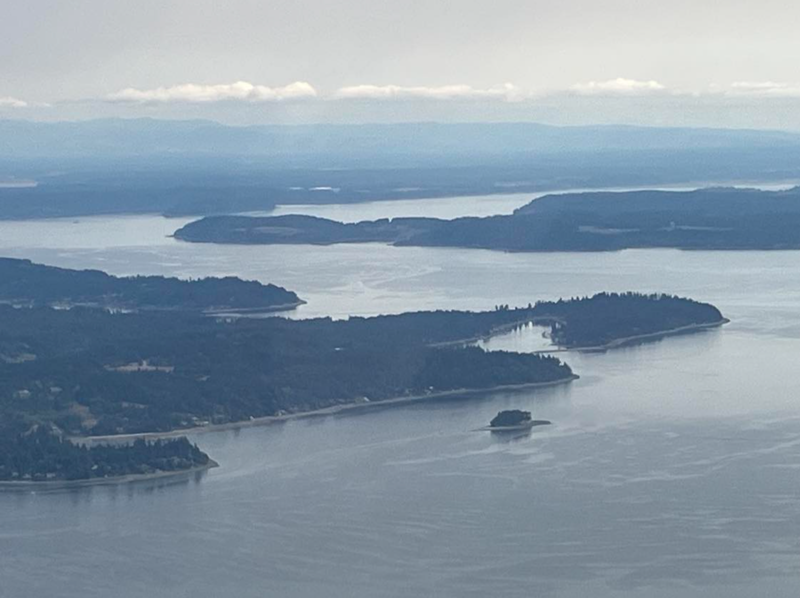
From there it was an easy flight to Harvey Field (S43) in Snohomish, WA where I stopped for lunch. Then on across the valley and hopscotching across Puget Sound, island to island, until I reached the mainland and landed at Diamond Point, WA (2WA1). I admit, this stretch made me nervous, since it's complicated airspace and flying over more water than I like.
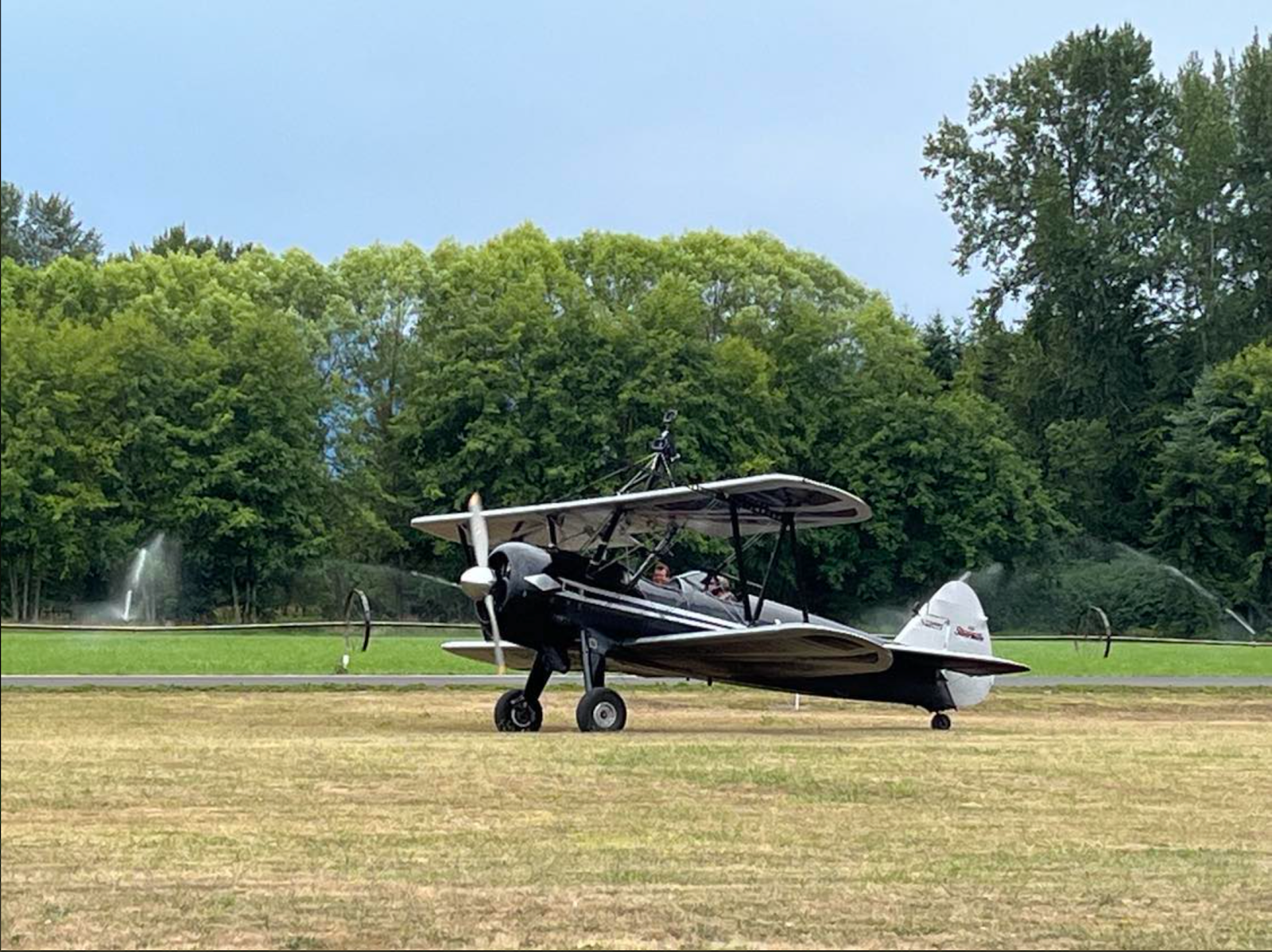
I visited with pilot Dave Gardner and his wife Karen, and then took off again for the 20 minute flight to Sequim Valley Airport (W28) where Skip and Ken Brown hangar their plane. Dennis was already there, After watching a group of would-be wing walkers take off to practice their newly acquired skills we piled into the Brown's car and headed to their home, where we spent the night.
Yes, you too can take lessons with the Mason Wing Walking Academy in this bi-plane in Sequim!
Here's my track for the day.


No comments:
Post a Comment