Thursday, Aug.4 was a "stay in camp" day. We packed up our tents in the morning and drove to Cut Bank to have "b'lunch" and return the rental car. I assumed that Dennis would want to head out immediately to continue our westward flight, but he was content to stay at the Cut Bank FBO. spent the night in the Cut Bank FBO.
Friday, Aug. 4
For two days now, I've been pushing away thoughts of flying over the Rockies by myself. Dennis is very focused on flying directly over Glacier as his route over the Rockies, and I'm equally clear that I will NOT fly over Glacier. The only route I'm willing to do is to follow Hwy.2, which goes from Cut Bank, MT and curves around the southern tip of Glacier before turning north and heading to Libby, MT and the on west. So we'll fly separately. The thought makes my stomach hurt.
I realize how much strength I get from three things when I fly over inhospitable/un-landable terrain: a road, to follow (no matter if it curves like a snake,) so that if I go down I'll have a slight chance of landing; signs of human habitation, so that if I go down I might be able to get help,;and being in radio contact with a flying partner. The latter somehow gives me courage - even though I know there's no way someone else can help me when we're in the air. The idea of flying over the Rockies by myself was so scary that I firmly resisted thinking about it.
Friday morning was hazy and definitely flyable. As usual, we checked the weather and Dennis noted that we'd be seeing some clouds. He plans to fly over them and just trust his GPS. He took off and then it was my turn. I climbed easily to 8500'. The smoke was pretty bad, and I was just barely able to see the road below. I had laser eyes on that road and didn't scan for other traffic at all. Other planes would just have to look out!
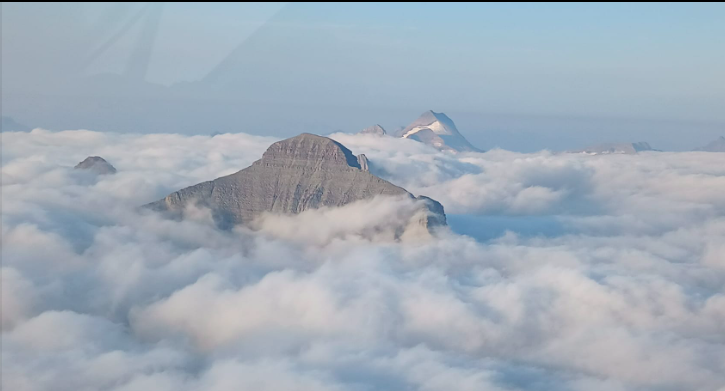
Then the clouds began below me, and soon I was flying over a sea of white. The clouds were about 2000' below. Oh no! That does it, I'll have to turn around. So turn around I did, and went back to Cut Bank.
I was pretty bummed out, and started thinking about my options. I couldn't fly south because of the fires and fire-related TFRs, and dense smoke. Maybe Dennis could rent a car when he landed, drive back to Cut Bank, and fly my plane over the Rockies. Maybe I could call one of my friends who ferries planes and ask them to come to Cut Bank and fly the plane. Maybe the clouds would dissipate and I could fly the route myself.
So I called for a weather briefing and asked the briefer if /when the clouds would dissipate. He looked and said "There's only about 20 miles of clouds, and they're completely stable, because there's no wind. You can fly VFR on top and just follow your GPS. At your estimated speed, you should be over that cloud bank in 15 minutes."
O.K. Two people - both with expertise I respected - were telling me to fly on top of the clouds and trust my GPS. And I can always turn back. So that's what I did. This time I climbed to 9500'. The cloud bank was still there, absolutely immobile. There was absolutely smooth air. I flew and flew and flew - it seemed forever. Then I could see the far edge of the cloud bank, when I dared take my laser eyes off the GPS. I had programmed in every bit of the curvy, windy road and I just kept flying.
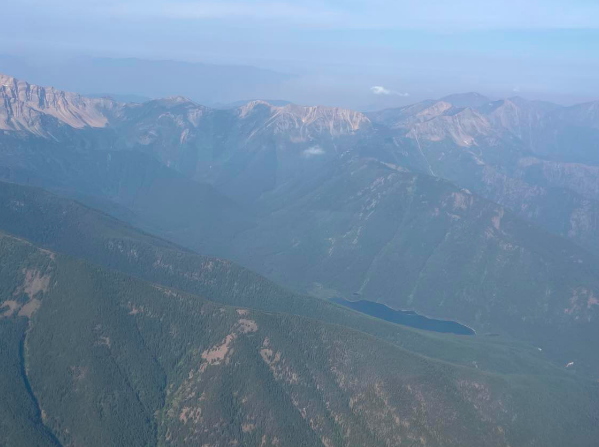
Then the cloud bank ended and the road, still difficult to see over all that smoke and at that altitude, reappeared! I was right were I was supposed to be! I grinned and grinned and grinned. Of course, there was still a long ways to go to cross the mountains, but for the first time I felt really hopeful. The engine was running like a clock - not a single knock. THANK YOU MORRIS SMITH!!! And since the air was absolutely smooth, I actually took some pictures!
Give credit where credit is due: the three photos taken of the cloud bank are Dennis' - I wasn't about to take photos while I was flying my GPS. The other photos are mine.
I took lots more- and even found the courage, once I was past Libby and out of the worst part of the mountains, to text Dennis that I was on my way and would meet him at Boundary County Airport, Bonners Ferry, ID (65S).
Note: Because of the smoke and the fire-related TFRs around Kalispell and Libby, MT I actually had to fly north of my road/GPS route. But I could SEE the ground and it wasn't a problem.
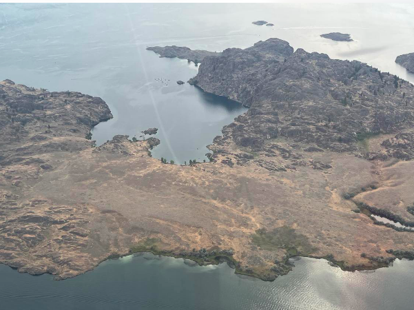
Landing at Bonners Ferry was an absolute delight, and we refueled and flew to Cavanaugh Bay, one of my favorite airports, for a wonderful lunch. You can't tell it from these two photos, but you climb out over the bay when you take off on 33.
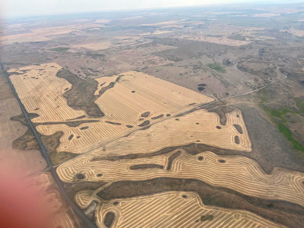
Then on again to Lake Chelan, our stop for the night. Flying over Grand Coulee Dam was a thrill, as always. I felt like I was almost home - I'm now in very familiar territory, since I've made the flight to Cavanaugh five or six times.
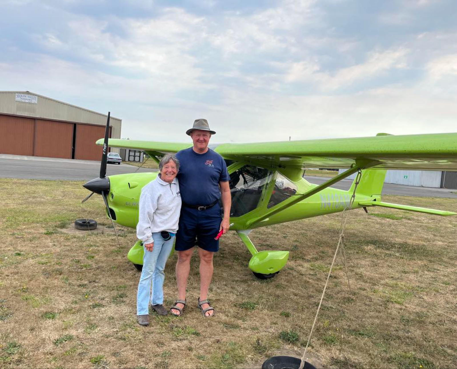
Even though it's now Sunday morning when I'm writing this, I don't have time to write about Saturday's flight - will do that this evening. I'll just say that we spent the night at the home of Skip and Ken Brown of the United Flying Octogenarians in Sequim, WA and I hear Skip getting breakfast ready.









Sweet!! So proud of you, Arty! Smooth sailing to you from here on!
ReplyDeleteMichelle & Ron Singh
yea! home at last.
ReplyDelete