Thursday, July 6
I didn't blog yesterday, since we stayed at Ann and Bruce's all day and didn't fly at all.
This morning we left Connecticut and flew to Auburn/Lewiston, ME. (KLEW) It was SO hazy after taking off that I almost turned back.
I decided to fly lower, (I was at 2000' and descended to 1400') and that helped a little. Looking down and sideways, you could see for miles and miles - just not straight ahead. We were flying over beautiful countryside: deciduous forests, small farms, lakes. All green. After 2.5 hours we landed at Lewiston.
I had already told Dennis that I was not going to fly with him to the very top of Maine; instead, I would head west to Malone, NY (KMAL) and visit with Gary and Tana Hanley. Dennis would fly the forested mountains of Maine, New Hampshire, and Vermont and then join me at Gary and Tana's. So after refueling we went our separate ways.
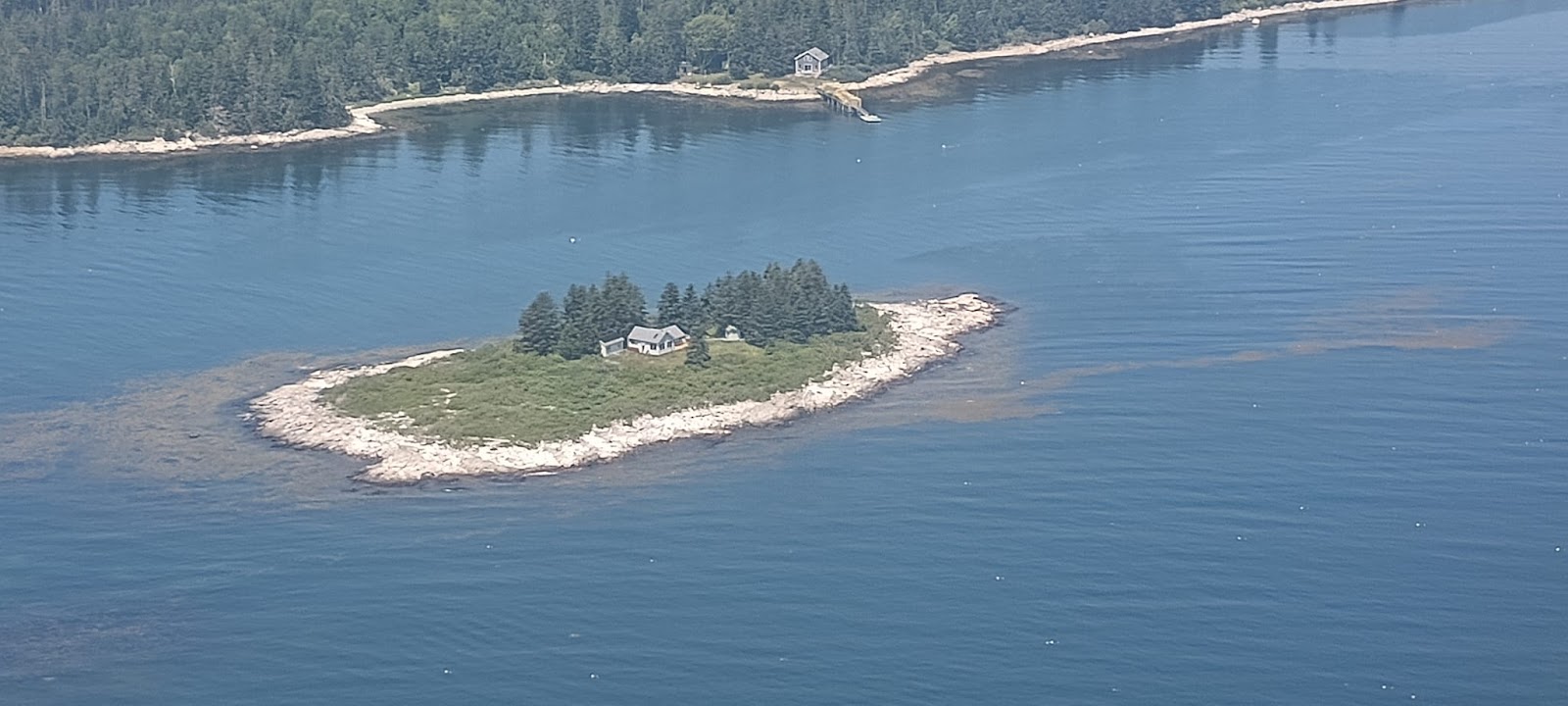
You'll see two different tracks at the end of this post: one of Dennis' and my first leg to Lewiston, Maine, and then Dennis' track through Maine. He used my SPOT tracker, because of the inhospitable terrain he'll be flying over today and tomorrow. He had a fabulous flight and spent the night in Frenchville, Maine, sleeping in the FBO at Northern Aroostock Regional Airport (KFVE). He said there was a very comfortable recliner there. These photos were taken by Dennis.
As for me:
My flying after leaving Lewiston was quite different. Flying west, I flew over Bethel, Maine, where for 15 years I worked for two weeks each summer at a leadership training center. I haven't been there in over ten years, and it was delightful to see the small community from the sky. Then it was on to New York state and the Adirondacks.
I wasn't worried about flying over the Adirondacks; I'm used to much higher mountains. Plus, I was following roads! Of course, the roads on a sectional look very different from the air, and the Adirondacks are very, very wide mountains. So I got confused and after a while realized I was following the wrong road!! Ridge after ridge after ridge stared back at me as I decided which route to take. Lots of valleys, so I wasn't really worried. After about ten minutes, I figured it out and finally headed out of the mountains. Then it was across a broad valley with the Canadian border only a few miles north as I headed west to Malone.
As usual, I got chills when I saw clusters of wind turbines when I was almost to Malone but they were off to my right and I never had to fly over them. Gary told me that the current turbines are 400' high, and the companies are trying to get permission to build 700' turbines.
The Malone Airport was deserted, and there was a big sign pointing to the Pilot's Lounge and restrooms. I opened the door and was startled to see a HUGE tractor, (both the front and rear tires were higher than my head,) and a gigantic dump truck.
Gary and Tana made me welcome and I spent a delightful evening with them. I was too tired to blog last night, so here it is now.
This is Dennis' and my track from Connecticut to Lewiston, ME
This is Dennis' track into northern Maine.


No comments:
Post a Comment